


Shipping:
Free Shipping Included
Delivery:
Estimated 2-15 Business Days
Payments:
Credit Card, Check, Cash, PayPal, Apple Pay, Venmo
Returns:
30 Days 100% Money Back Guarantee, Buyer Pays Return Shipping
Description
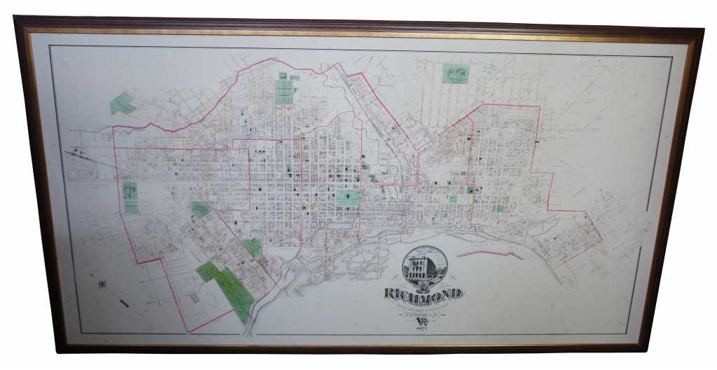
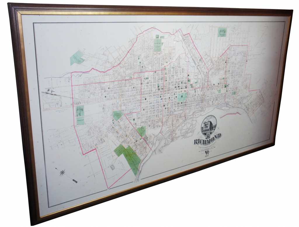
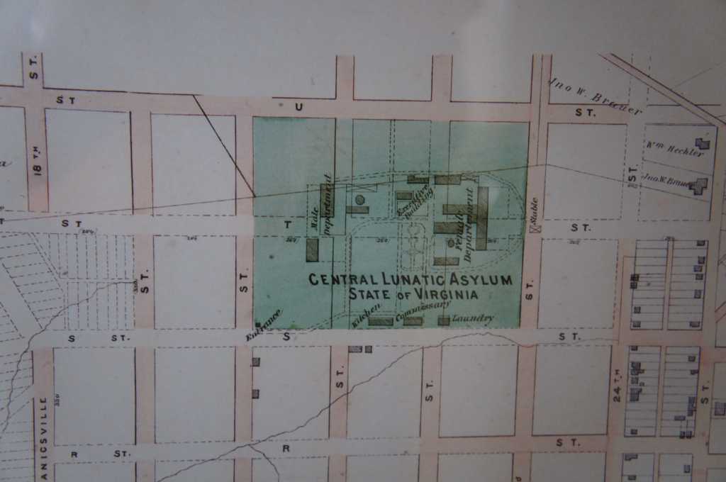
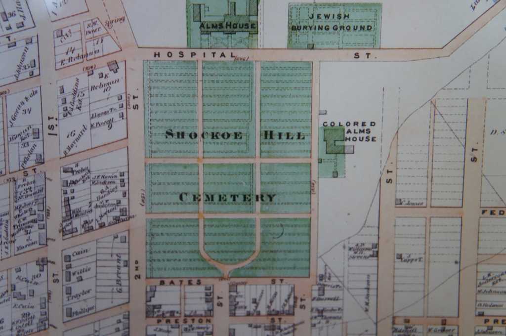
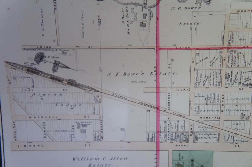
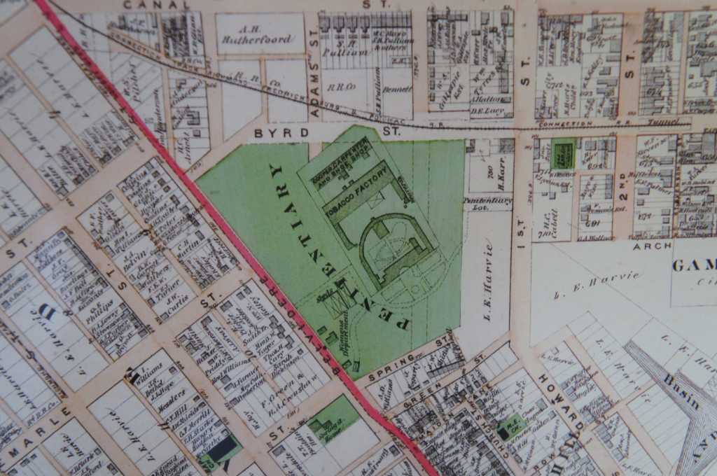
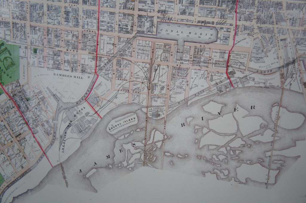
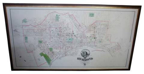
1877 Illistrated Atlas map of the city of Richmond Virginia. A massive composite of the Richmond City Atlas by Beers as seen in the illustrated atlas of Richmond which is published by Beers in 1876. Published for the Southern and Southwestern Surveying and Pub Co. F.W. Beers C.E. 1877.
Condition
Very good, some wear and distressing to frame and plexiglass.
Dimensions
84" x 47"