


Shipping:
Free Shipping Included
Delivery:
Estimated 2-15 Business Days
Payments:
Credit Card, Check, Cash, PayPal, Apple Pay, Venmo
Returns:
30 Days 100% Money Back Guarantee, Buyer Pays Return Shipping
Description
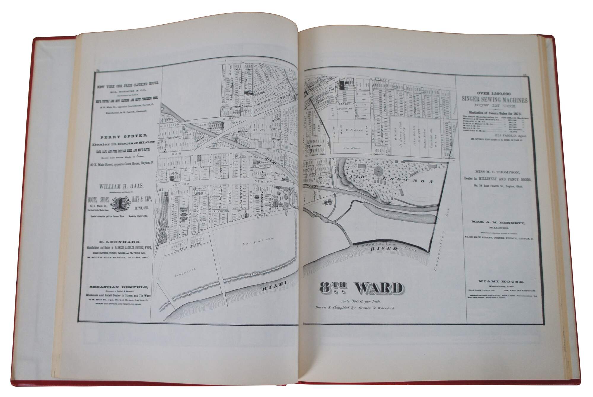
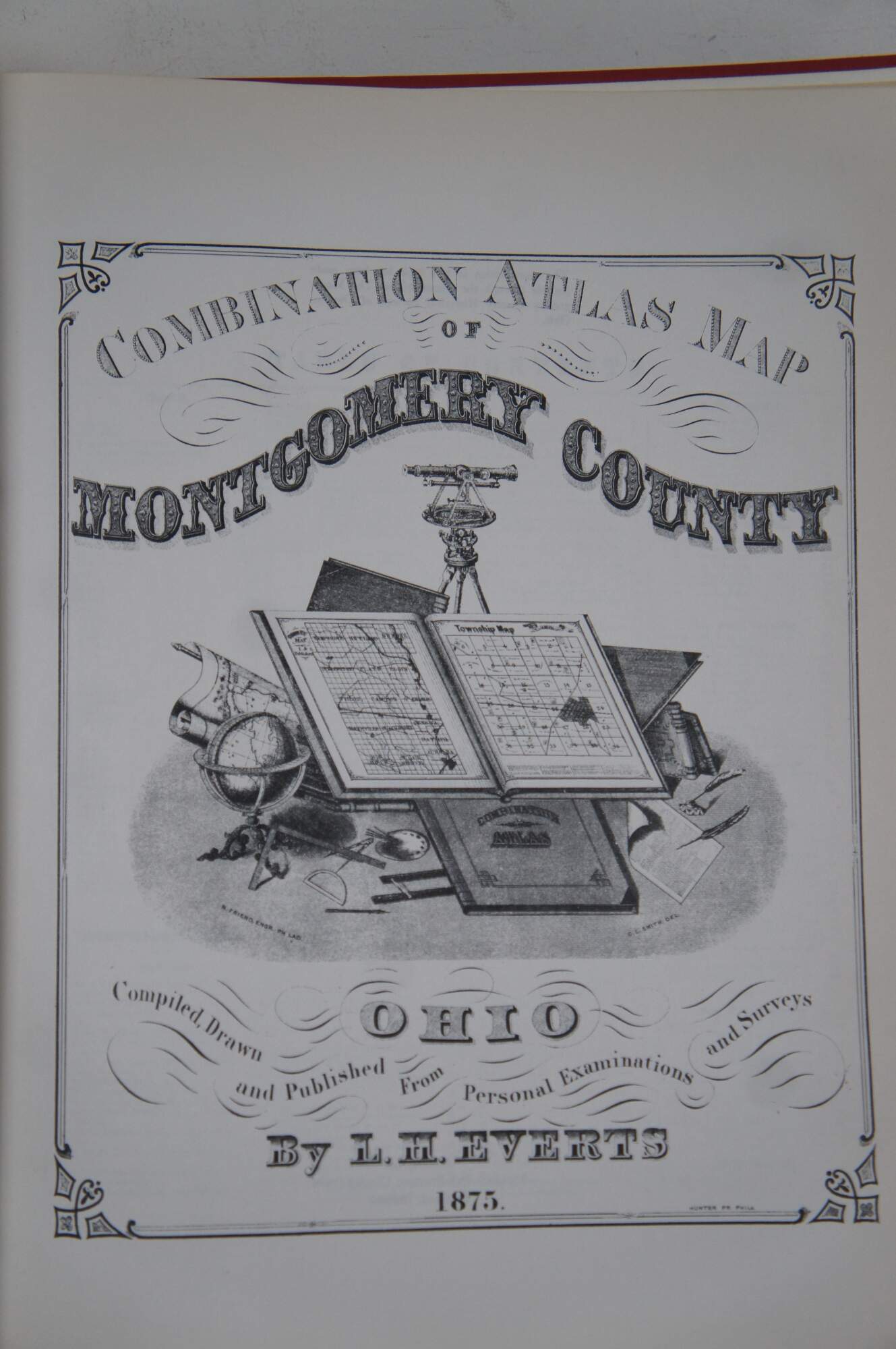
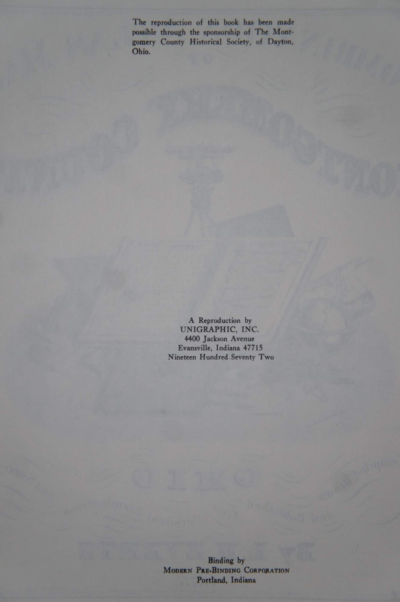
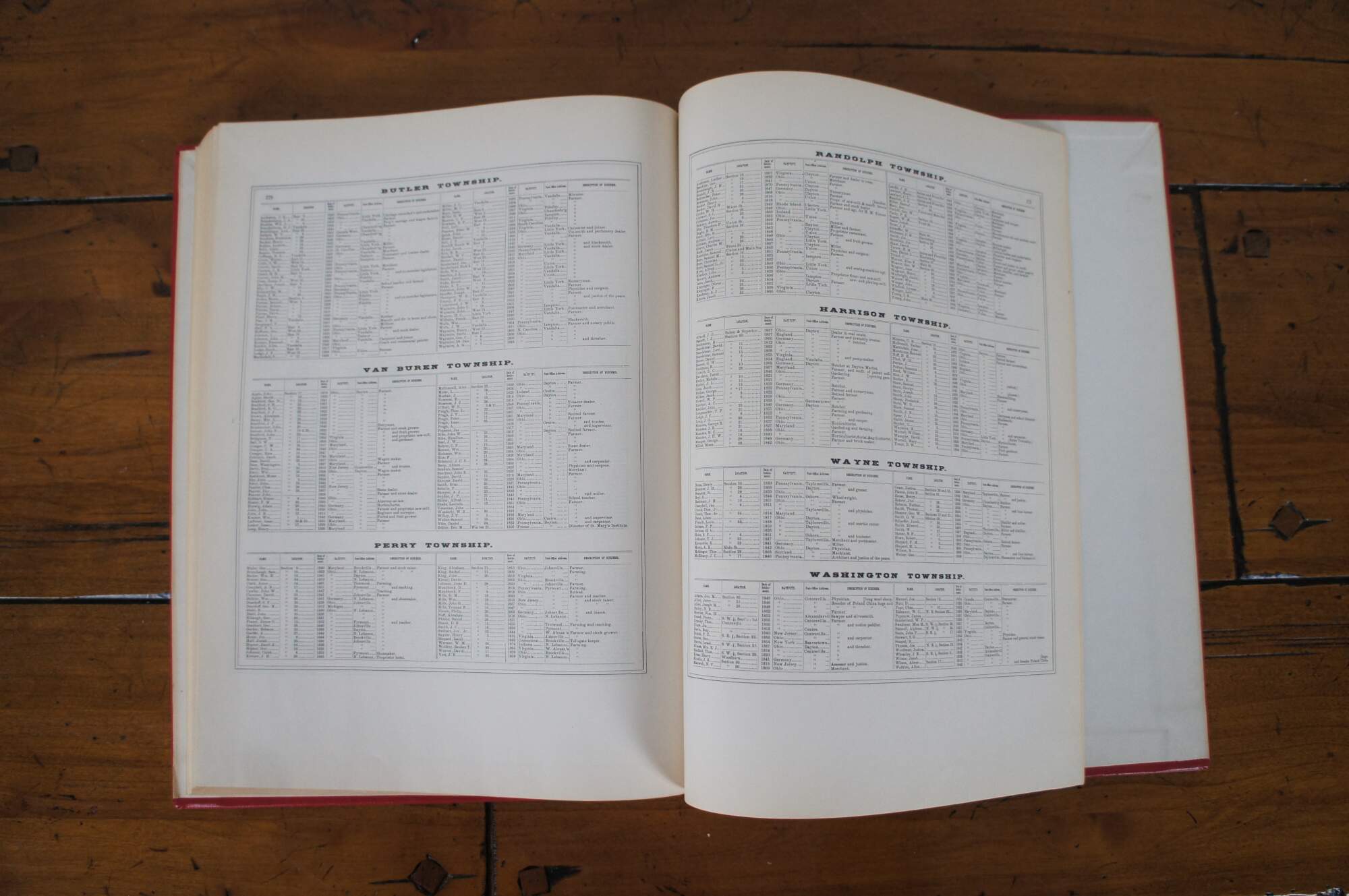
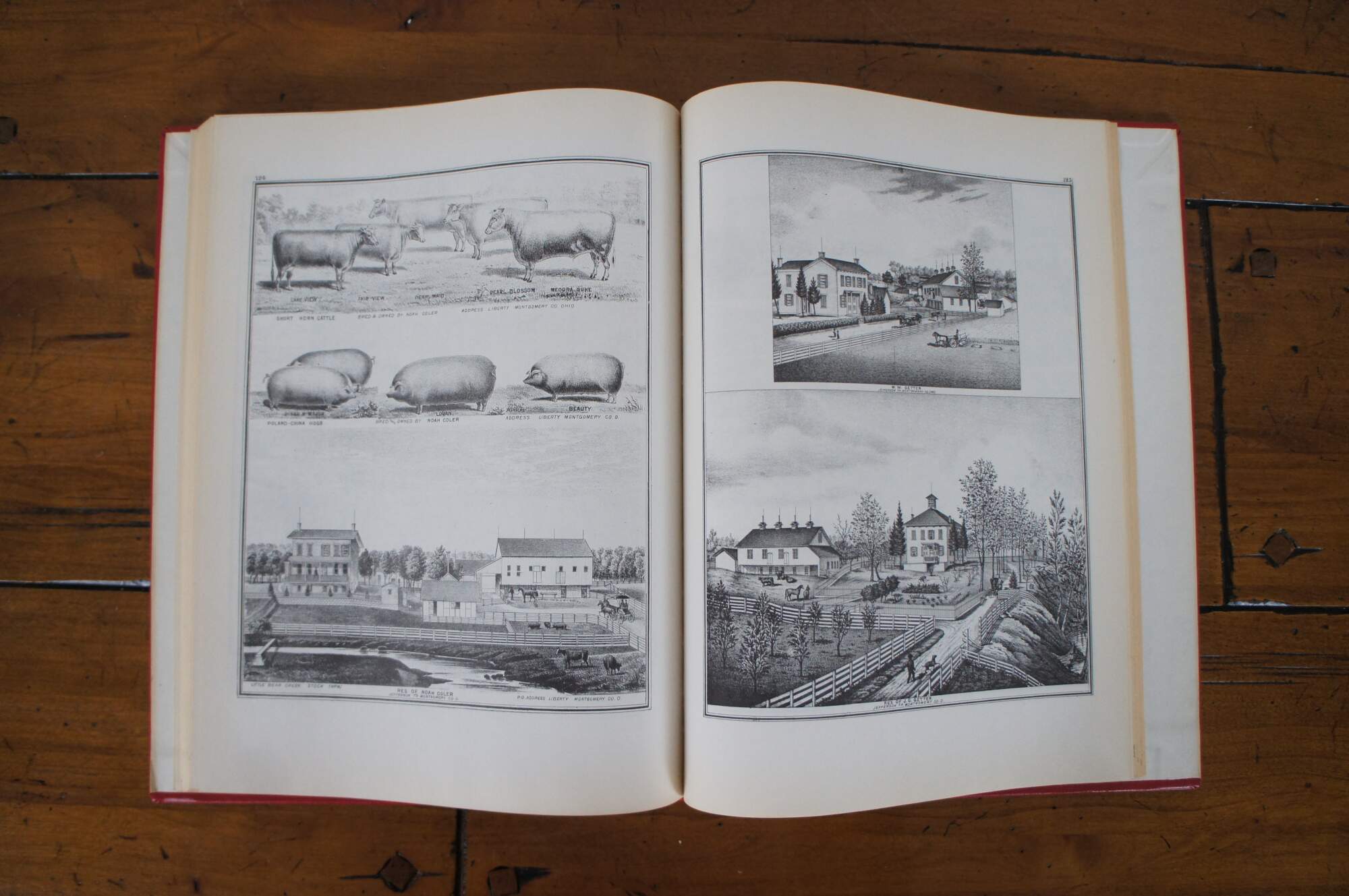
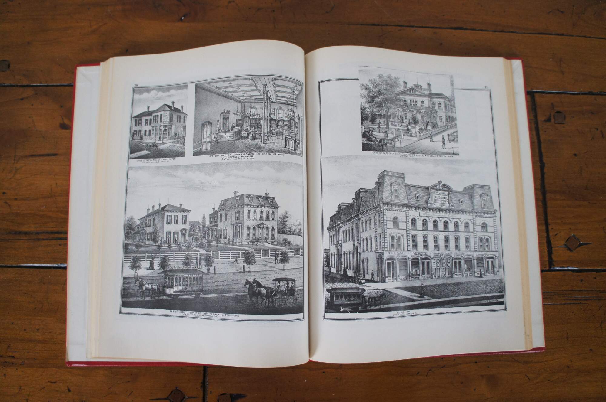
Vintage red faux leather hardback, folio size copy of the “Combination atlas Map of Montgomery County Ohio,” Completed, Drawn, and Published from Personal Examinations and Surveys by L.H. Everts – 1875. This reproduction copy made through the sponsorship of the Montgomery County Historical Society of Dayton, Ohio. Published by Unigraphic Inc. 1972. Binding by Modern Pre-Binding corporation.
Condition
Good Overall - Minimal wear to covers; some yellowing to pages
Dimensions
11.25” x 0.75” x 14.5” (Width x Depth x Height)